
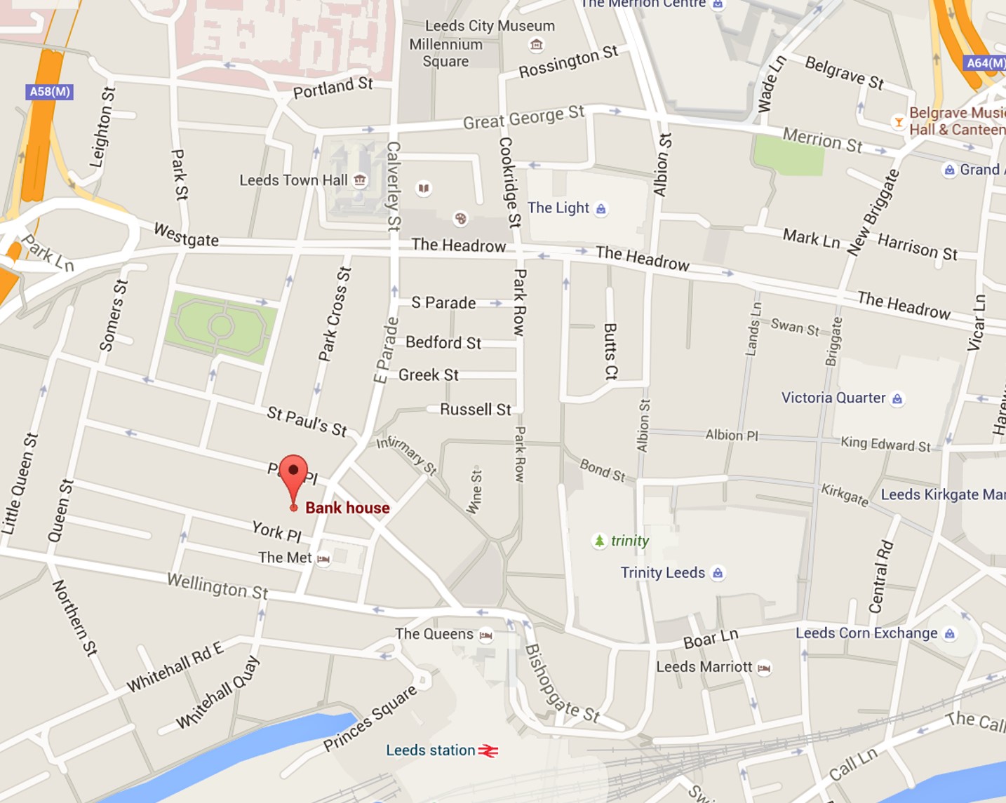
Using our chosen colour shame I have started creating some ideas for way finding. Firstly I want to make a map which could be used on a leaflets to show how to get from different directions to the Bank House in Leeds. I have looked at the Google maps to see where about the Bank house is located in Leeds.

Using the screen shot of Google maps in Pohotoshop I have traced the lines of the all streets on the map. I think it come up quite interesting, but it still more developing. I have ask my group about the feedback on the map. They said I should make all the lines in the same size because those thinner lines makes everyone confused what it is. Also they gave me an idea to zoom out slightly the map and look for closes car parks, restaurants, parks etc


After receiving a feedback I began to edit my way finding map. I made all the lines in the same sizes and I have zoomed out the map so more locations come up. I have been experiment a bit with the background for this map as well as I thought living it on white background would be too boring.


I feel that the map is a bit to empty. So I have decided to add some icons to mark all the shopping centres, parks etc are. I have also experimented with the mark for the Bank House. I have used the dollar sign mainly because it symbolise money.


No comments:
Post a Comment